
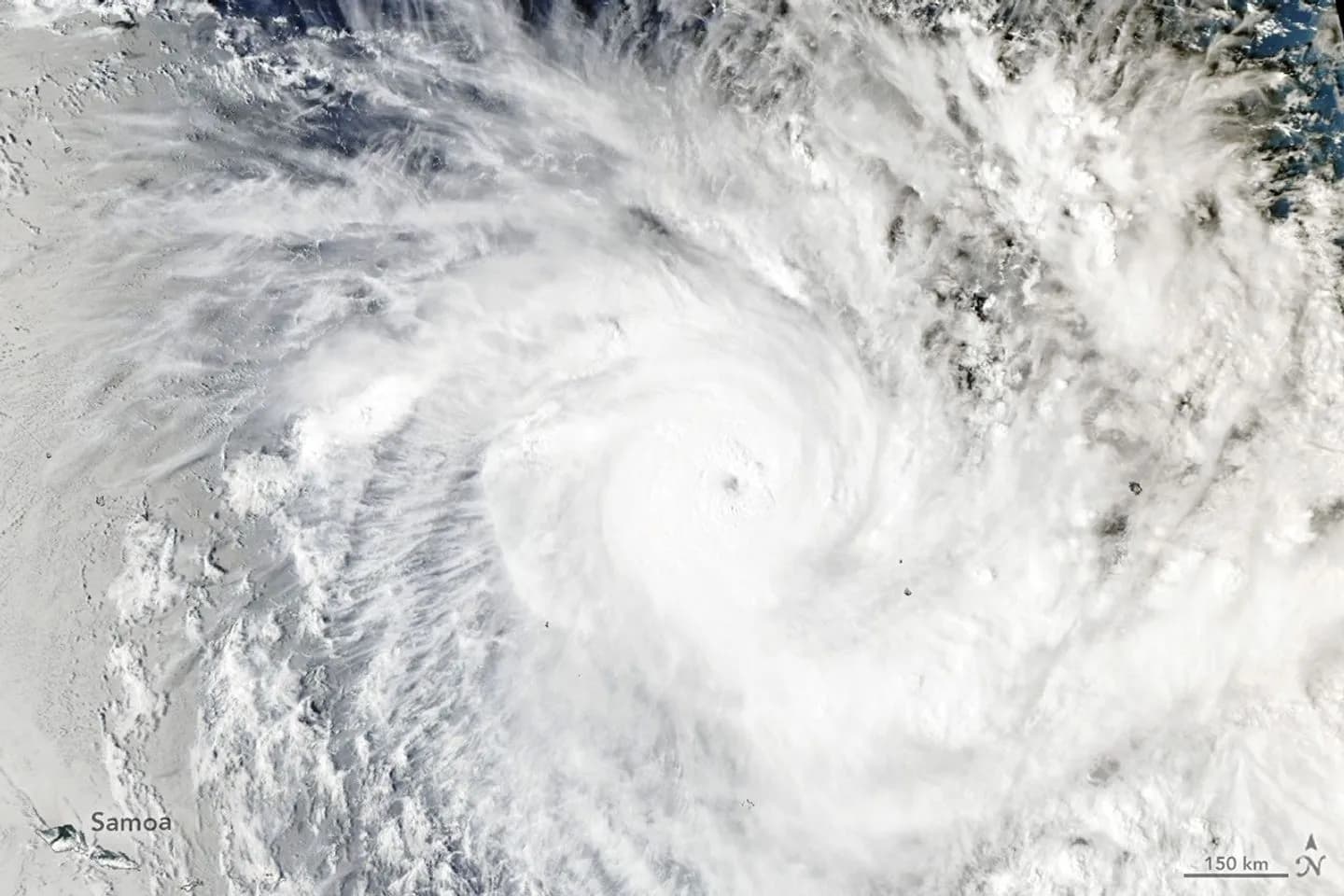
Tropical Cyclone Xavier has intensified into a major storm in the Southwest Pacific, damaging homes and triggering power disruptions as it moved past the northern Cook Islands, according to authorities.
The Fiji Meteorological Service first began issuing updates on the system on November 15, 2026, when it tracked as a slow-moving tropical disturbance northeast of Samoa and the Cook Islands. Xavier is the basin’s second named storm of the season, following Cyclone Wati.
Satellite data from NASA showed Xavier churning along the southwestern edge of a tongue of warm water connected to El Niño conditions. The Moderate Resolution Imaging Spectroradiometer (MODIS) instrument aboard NASA’s Aqua satellite captured an image of the storm at 02:53 Universal Time on November 17, 2026.
Forecasters estimated that Xavier had maximum winds of approximately 195 kilometres per hour at the time of the satellite image on November 17. The storm strengthened further later that day, reaching a peak intensity with winds of 220 kilometres per hour.
Phil Klotzbach noted that Xavier ranks as the strongest November tropical cyclone on record east of the international date line.
For the broader period ahead, the Fiji Meteorological Service projects that the Southwest Pacific region could experience between 11 and 15 named tropical cyclones during the current season.